
BLOG
Understanding Platting and Re-Platting: A Guide for Property Owners
What is Platting and Why Does It Matter?
Platting is a crucial process for land development and subdivision that ensures properties are legally recorded and meet city zoning requirements. Whether you’re dividing a large tract of land into smaller lots for a residential neighborhood or reconfiguring property boundaries for commmercial use, platting ensures everything is properly mapped and approved.
At Midpoint Surveying and Mapping, we specialize in platting and re-platting services, helping property owners, developers, and builders navigate zoning regulations and subdivision requirements. With our expertise, you can confidently move forward with your real estate or construction project while staying compliant with local laws.
Platting vs. Re-Platting: What’s the Difference?
- Platting is the process of mapping out and legally recording a new piece of land, typically when a property is being divided into smaller lots. This is common for residential subdivisions, commercial developments, and large land projects.
- Re-Platting occurs when an existing lot is being modified, combined, or divided differently from its original plat. This is often necessary when adjusting property boundaries, changing lot sizes, or updating land use.
Both processes require detailed surveys, legal descriptions, and city or county approval.
Why Do You Need a Plat or Re-Plat?
Platting is required anytime land is being altered in a way that affects its legal description or zoning. Some common situations where platting or re-platting is necessary include:
✅ Subdividing large land parcels into smaller lots for housing developments
✅ Merging multiple lots into one for commercial projects
✅ Adjusting property boundaries to resolve disputes or accommodate construction
✅ Changing zoning classifications to match new land use plans
✅ Meeting city or county regulations for land sales or new developments
Without a proper plat, properties may face issues with permits, zoning compliance, and legal disputes.
The Platting Process: Step by Step
1️⃣ Surveying & Mapping
– A professional land surveyor conducts a boundary and topographic survey to map the property accurately.
2️⃣ Plat Preparation
– Using survey data, we create a detailed plat drawing that includes lot dimensions, roads, easements, and zoning details.
3️⃣ City or County Submission
– The plat is submitted for review and approval by the local government.
4️⃣ Public Notice & Review
– Some plat changes require public hearings or neighborhood approval.
5️⃣ Final Approval & Filing
– Once approved, the plat is officially recorded, allowing development or land transactions to proceed.
This process ensures that new property divisions are legally recognized and properly planned.
How Re-Platting Can Increase Property Value
Re-platting isn’t just a legal requirement—it can also increase the value and usability of your land. If your property layout doesn’t match its best use, re-platting can help:
🏡 Adjust lot sizes to make them more desirable for buyers
🏗 Combine lots for larger commercial or residential projects
📍Fix boundary issues that might hinder construction or sales
⚖ Ensure compliance with evolving zoning laws and regulations
Whether you're a real estate investor, builder, or homeowner, re-platting can unlock new possibilities for your property.
Why Choose Midpoint Surveying and Mapping for Platting Services?
At Midpoint Surveying and Mapping, we handle the entire platting and re-platting process
from start to finish. Our team ensures:
✅ Accurate land surveys and mapping for precise plat preparation
✅ Compliance with city and county regulations to prevent delays
✅ Expert guidance to help property owners understand the process
✅ Fast and efficient service to keep your project on track
With our in-depth knowledge of Texas zoning laws and property regulations, we provide a
seamless experience for clients looking to develop or modify their land.
Get Started with Your Platting Project Today!
If you need to subdivide land, adjust property boundaries, or re-plat for development, don’t take chances—hire an experienced land surveyor. Contact Midpoint Surveying and Mapping today for professional platting services!
📞 Call us now at (877) 806-5210 to discuss your project and get started.
DISCOVER WHAT OUR CUSTOMERS HAVE TO SAY ABOUT US
REVIEWS
REVIEW US ON GOOGLE
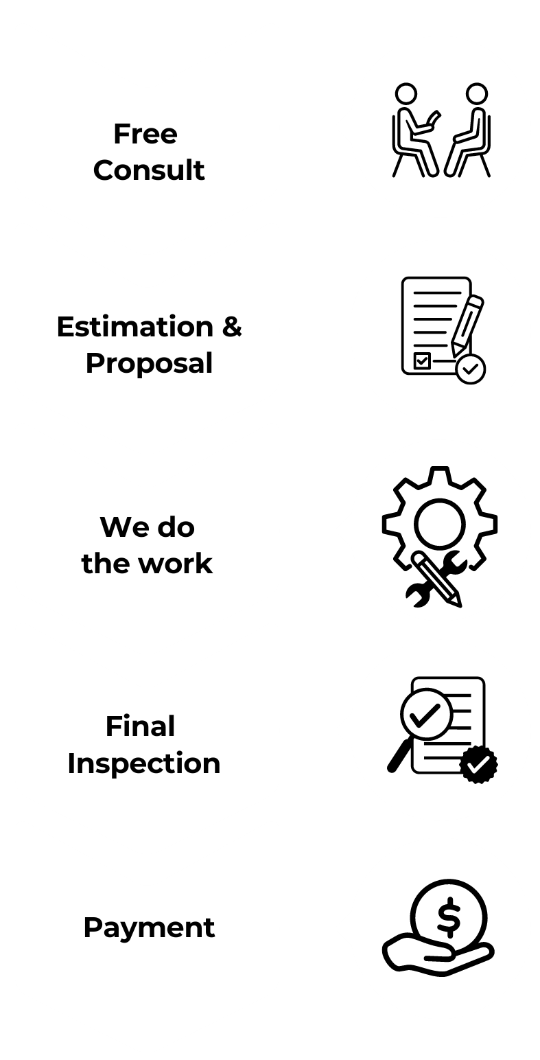
our process
Our process is simple and only contains a few simple steps
proudly serving these areas
Bryan/College Station
Brazos County
Bell County
Burleson County
Erath County
Grimes County
Montgomery County
Waller County
Washington County
READY TO take the next step?
get a free quote TODAY!

Midpoint Surveying and Mapping
(877) 806-5210
CONTACT
business
our services
service areas
operating HOURS
Sun: Closed
Mon: 8:00am - 7:00pm
Tue: 8:00am - 7:00pm
Wed: 8:00am - 7:00pm
Thu: 8:00am - 7:00pm
Fri: 8:00am - 7:00pm
Sat: Closed
Your Paragraph text goes Lorem ipsum dolor sit amet, consectetur adipisicing elit. Autem dolore, alias, numquam enim ab voluptathttps://pels.texas.gov/e id quam harum ducimus cupiditate similique quisquam et deserunt, recusandae. here